
Čitelná Praha – Wayfinding system
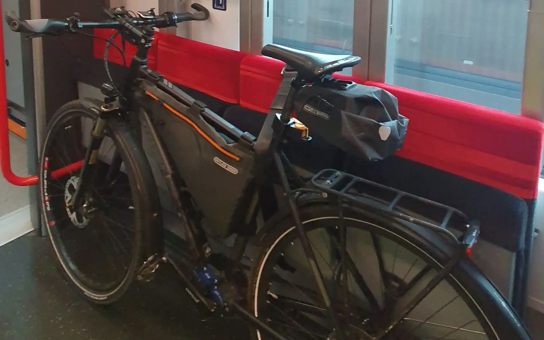
Čitelná Praha or Legible Prague is a comprehensive system of unified urban navigation for all types of mobility with a priority focus on supporting sustainable movement around the city, whether on foot, by public transport or by bike. The aim is to create an inclusive solution for all user groups, increase their information certainty and enable more movement in the public space.
Improving Wayfinding in Prague: A Project for Better Public Information
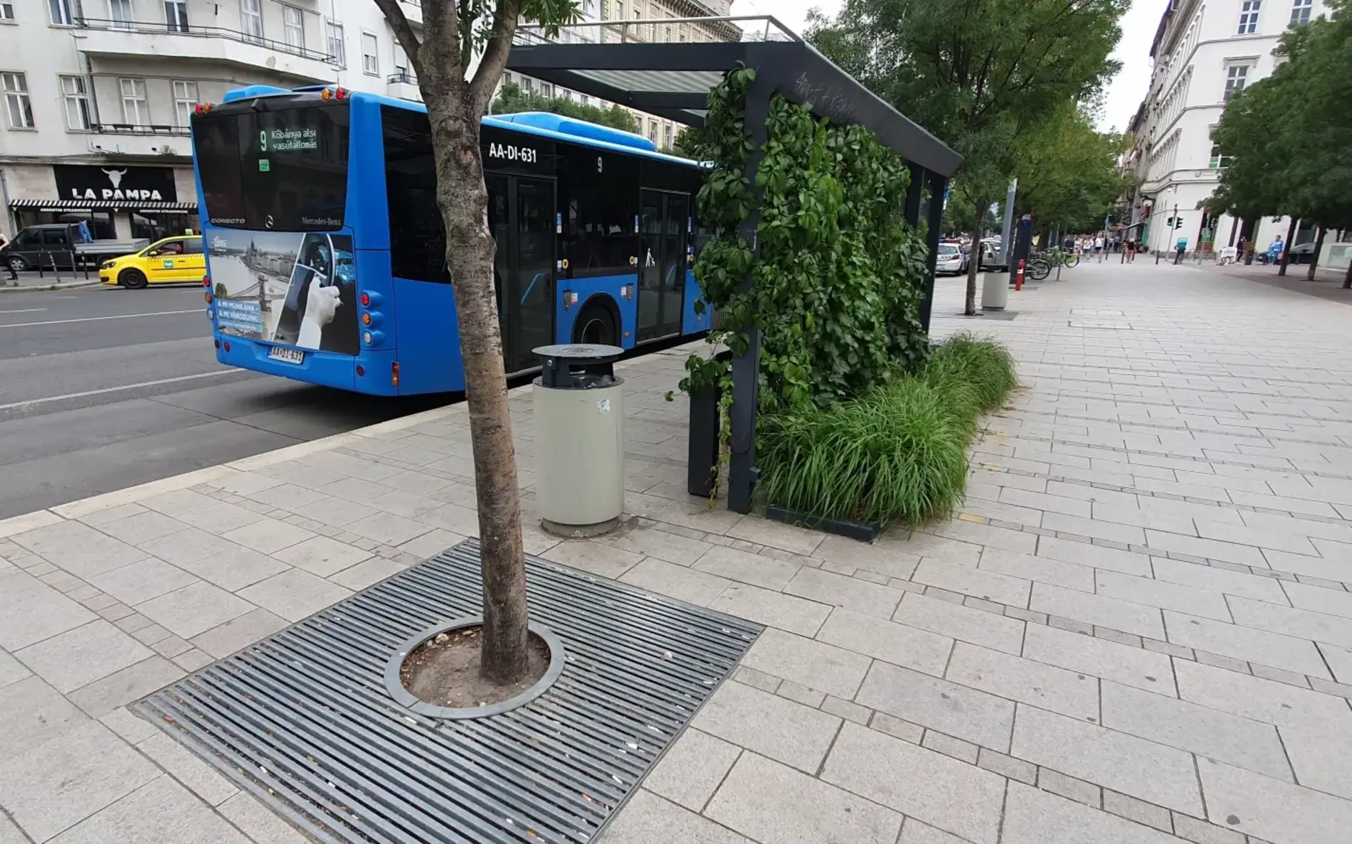
The idea of developing a project to unify and improve the quality of the information and navigation system in Prague is based on the long-term dismal conditions in this area, where there are several separate systems in Prague that are not coordinated with each other in terms of aesthetics or content. Often, the information system is lost among the advertising and commercial messages. Project was developed with a purpose of facing many challenges, including insufficient navigation for pedestrians within the city center and on the outskirts, lack of prominent markings of subway entrances and advertisement messages, missing neighborhood maps at public transport stops, missing navigation to train stops and missing online information at public transport stops. The design and individual elements of the old system has been changed and supplemented randomly, so it became inconsistent, insufficiently interconnected and it’s not fulfilling the role.
The project for Prague’s new navigation system has entered the ‘piloting phase’ in 2023. During this phase they tested individual elements of the navigation and orientation system, both in terms of the new approach to information display and graphic processing, and at the level of material design, morphology, layout or durability of the carriers themselves. They have carried out several expert studies with the users during the piloting phase. A working team of designers, representatives of various city organizations and researchers continues to work on the implementation of further pilot projects, research with passengers and on the basis for a transparent and up-to date presentation of this complex project to the general public. In 2024 the objective is to pilot further new elements of the navigation system both in the metro and at the surface transport stops or on rail, as well as in pedestrian navigation. Totems drawing attention to the presence of a metro or train station from afar will gradually be installed in other places. Trying out other distinctive markings at various types of entrances to metro stations is also planned. At surface transport stops they will be testing a revised look for maps and diagrams or other information materials. The integrated system will gradually replace the existing local signage in different types of urban areas.
This practice includes multiple pilot projects with the aim to gather as much feedback as possible through user surveys with the public and everyday practice in operation. This way they can gradually adjust the designs according to the collected suggestions, and proceed to a gradual rollout after they are finalized. In the field they conduct in depth qualitative surveys in the form of accompanied visits with carefully selected respondents, as well as quantitative surveys from which they obtain basic data from a larger number of people. From the results of research, they propose necessary modifications and gradually write feedback of the operation and passengers into the individual elements of the system. Later the modified elements are tested at other pilot locations to verify their comprehensibility in different contexts.
Pilot Phase and Implementation Challenges
The project is currently still in the pilot phase and is gradually developing and spreading around different public transport stations and spots in the city. One of the difficulties they encountered during this phase is the location of individual carriers in the subway stations that has been in that spot historically. Passengers have expressed the need to move the list of stations closer to the platform entrance. However, this would mean a significant intervention in the entire station, so the carriers can only be moved as a part of reconstructions or major construction modifications. In the metro stations specifically, they have faced the issue of moving the list of stations to close to the escalator could cause a dangerous accumulation of passengers just in front of it, so they are still trying to find a solution to address this issue.
In terms of signage and orientation at PT stations I believe it’s useful to have a unified system connecting different modes of transport and walking paths for easier recognition and navigation while traveling. A similar system would be applicable to places with interconnected multiple public transports. Legible Prague has a broad focus and a wide range of design and infrastructural changes that unify navigation for all types of mobility with a priority focus on supporting sustainable movement around the city, whether on foot, by public transport or by bike. The aim is to create an inclusive solution for all user groups, increase their information certainty and enable more movement in the public space. Good aspect of this practice is a ‘pilot phase’ of the project that allows for further research and surveys to be done, in order to receive as much feedback as possible, that can be taken into account before using this unified system across the entire city.
Learn more

The project Active2Public Transport is supported by the Interreg Danube Region Programme project co-funded by the European Union. The project was initiated by the Austrian Federal Ministry of Innovation, Mobility and Infrastructure (BMIMI), Department II/6 in cooperation with klimaaktiv mobil – the Austrian Federal climate protection initiative on sustainable mobility.